Other entries in this trip report:
So it’s not lost anymore! Not, of course, that it ever was. Except to me. But now even I know where it is!
Today’s ride was a total blast, although it did give my arms and lower back a real workout (all those bumps, potholes, road heaves and other pavement discontinuities). Plus, coming back I rode through an amazing old growth redwood forest. What’s not to like?
I started out cruising north on US 101 to the Founder’s Tree exit. It was kind of a novel experience rolling out of the hotel parking lot and jumping to 75 MPH right away. Good thing the coffee had kicked in!
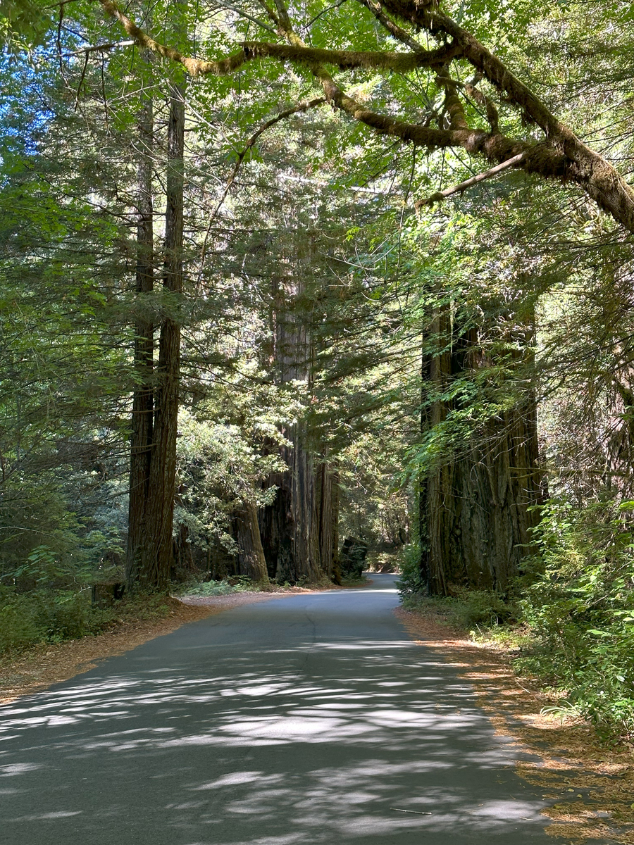
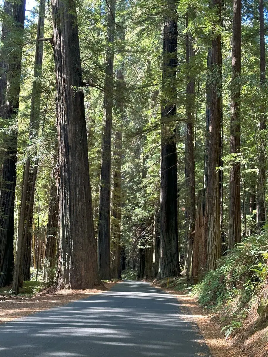
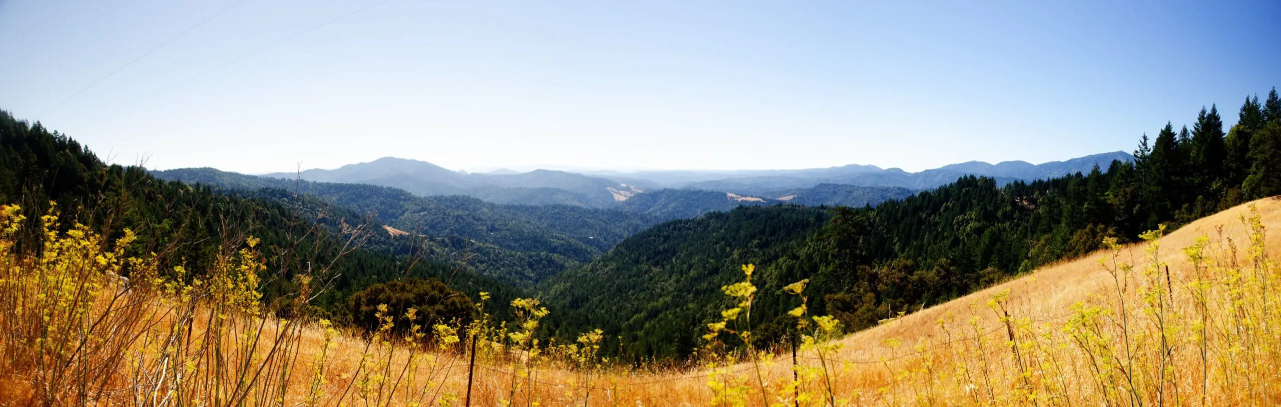
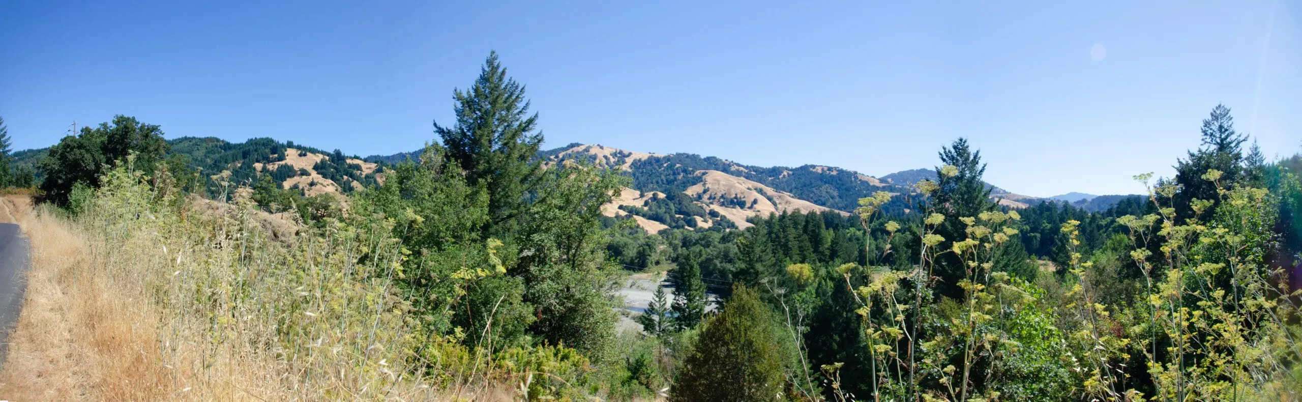
After leaving the freeway I quickly found myself deep in the Humboldt Redwoods State Park. This section of Mattole Road is in good shape, with lots of fun curves and tons of giant redwood trees all along it.
This bucolic setting lasts until you leave the river valley and start climbing the first hill. Things quickly get very bumpy and twisty. With the added challenge of places where the pavement’s been replaced by gravel. You definitely don’t want to go too fast here, even if you set your suspension to soft, as I did1.
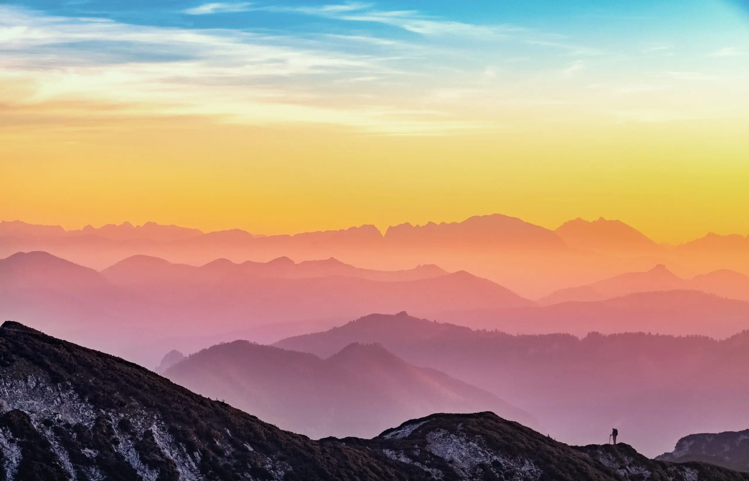
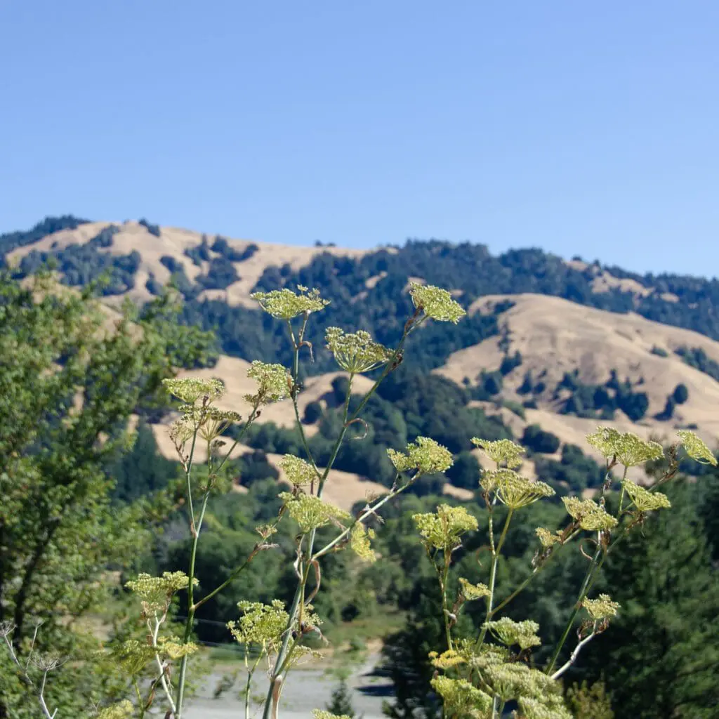
But compensating for all that are the views along the way which, when the forest canopy breaks, are spectacular.
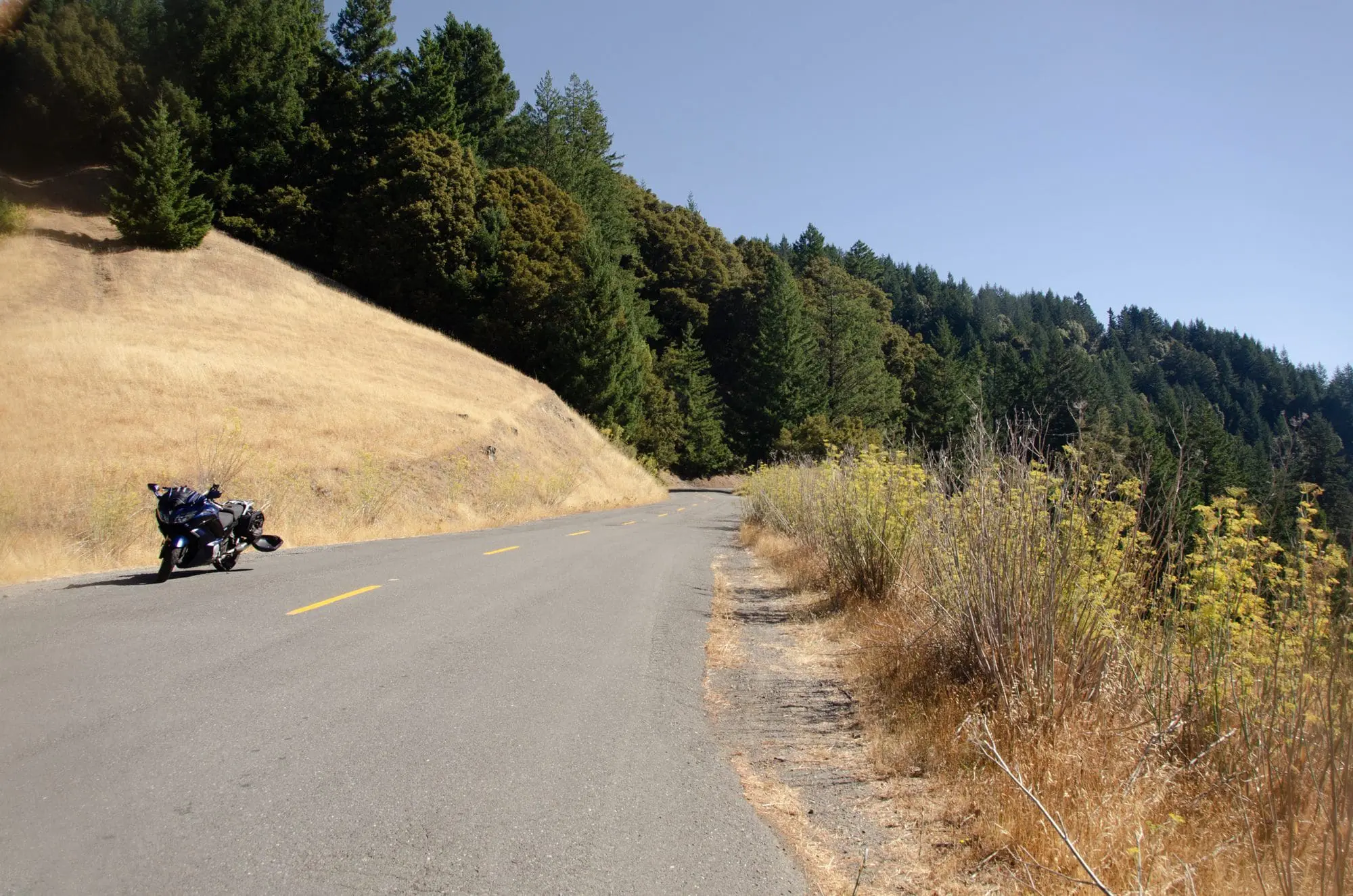
It was right past here when I realized part of the problem I was having with all the bumps was that I was using my photochromic visor. I generally really appreciate its ability to automagically darken in bright sunlight and go transparent when it gets darker…but it wasn’t able to go transparent rapidly enough under the forest canopy, so I was essentially doing what I call “riding by Braille”: seeing the bad spots by experiencing them.
Switching to my plain old transparent visor worked wonders. Yes, the road was still pretty bumpy…but now I could see the stuff ahead of time and either steer around the problems or ready myself for the impact. The ride was still a hammer fest, but it was less stressful, and I managed to up my pace considerably.
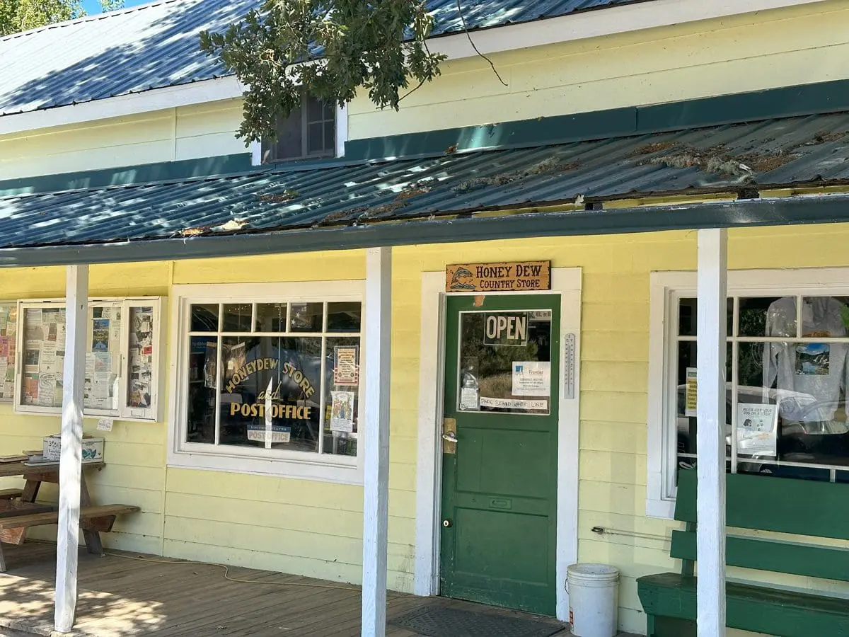
Pretty soon thereafter I rolled into Honeydew, California, a tiny hamlet which has a nice general store (and some of the largest propane fuel tanks I’ve ever seen). I enjoyed a nice bottle of carbonated water there and a fun conversation with the young guy manning the cash register, who told me about his experience riding a motorcycle in the Philippine’s. Which, according to him, is better than riding one in Vietnam or Thailand, but not for the faint of heart in any event.
I also bought a sweatshirt proclaiming I’m now part of the Honeydew Republic :).
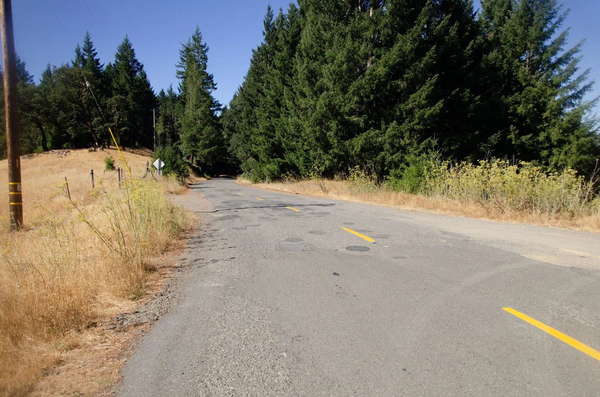
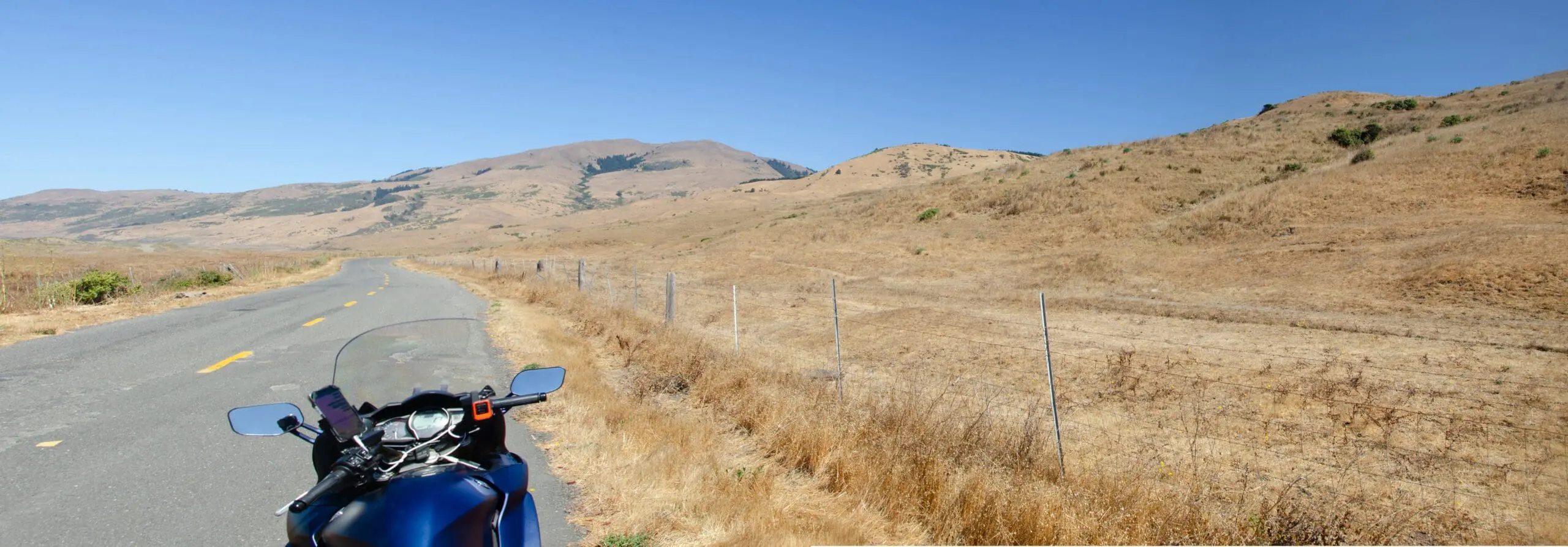
From Honeydew to Petrolia, the next little community, Mattole Road gets a lot better so you can ride quite a bit faster. In fact, a couple of times I was able to hit the road’s 55 mph speed limit. But only for brief stretches, because, inevitably, there’d be a section filled with potholes and heaves. Or maybe no pavement at all and just gravel. Fortunately, in all but one case you could see the problem areas well ahead of time.
The views remained terrific.
Petrolia itself is a bustling metropolis compared to Honeydew. It even boasts a school. But I didn’t stop to take pictures, both because I always feel odd taking pictures of people’s homes and because I was itching to get to the coast, which I could tell from Google Maps was near.
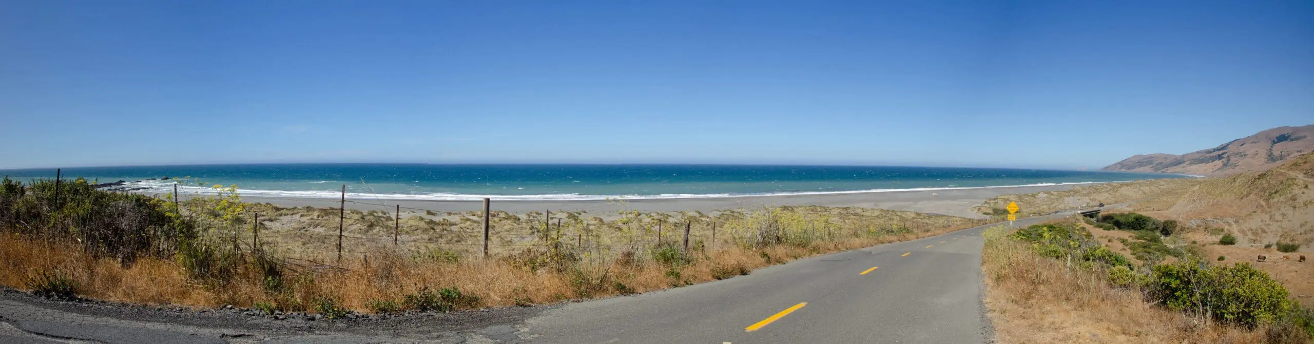
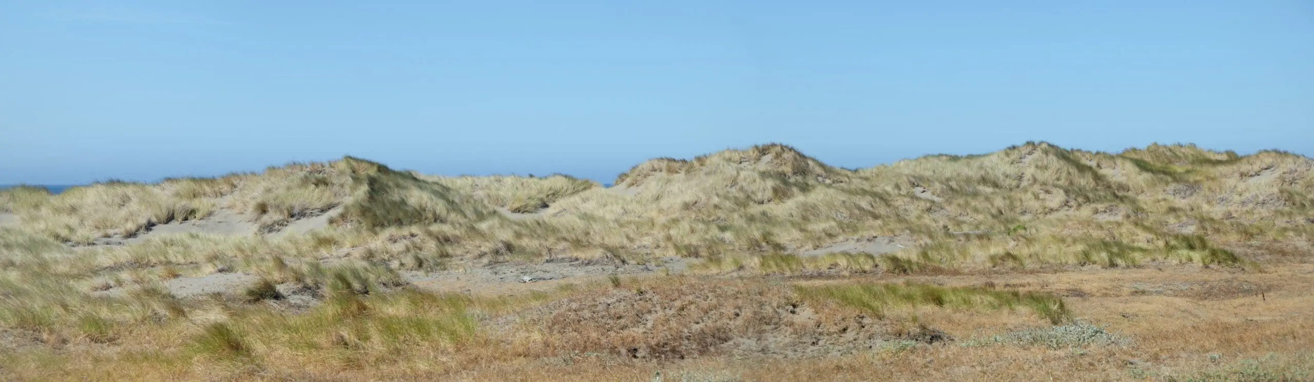
The view of Black Sands Beach, when I finally arrived, was breathtaking.
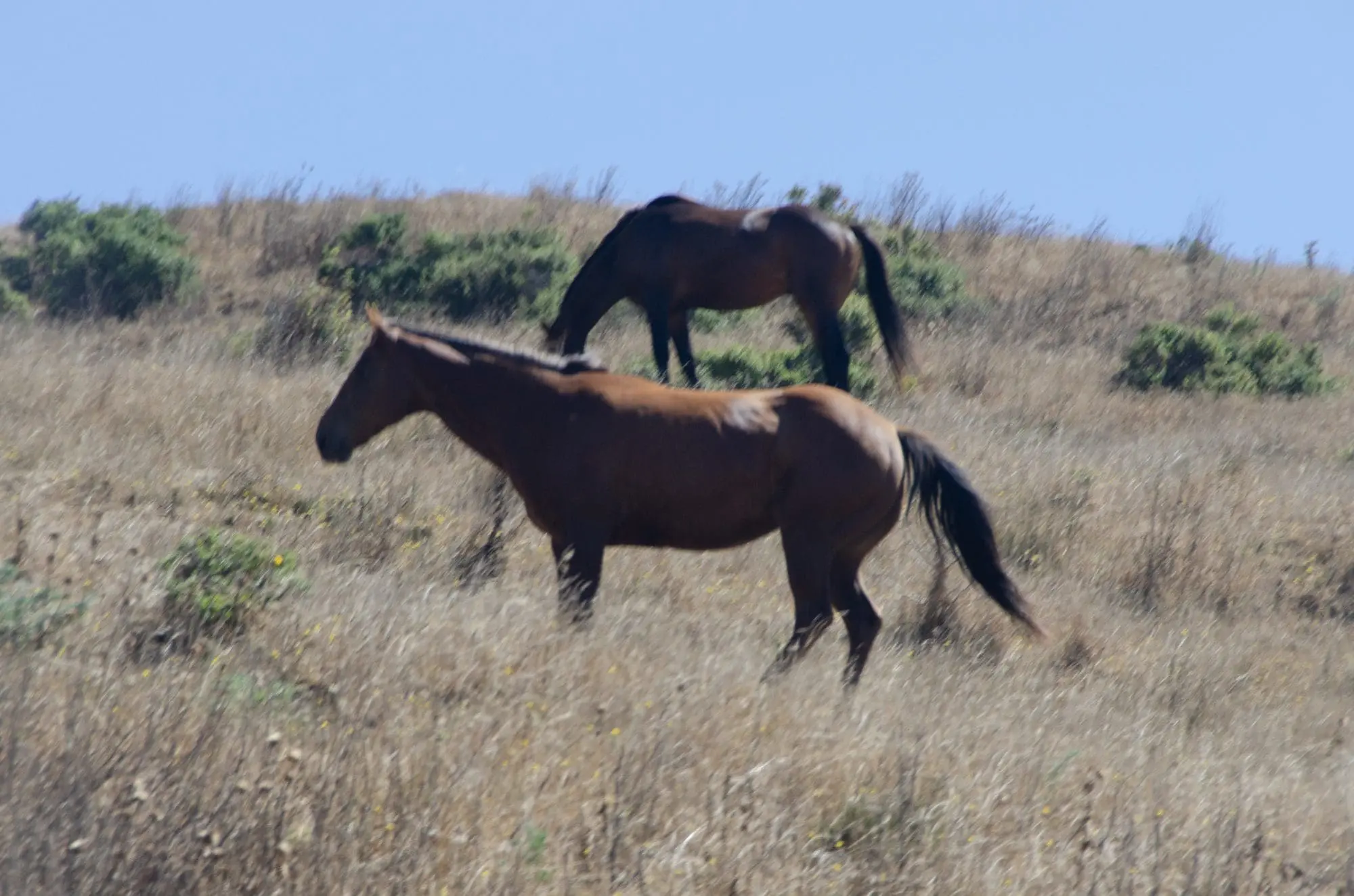
I also encountered the first examples of the many inhabitants of this stretch of coast:
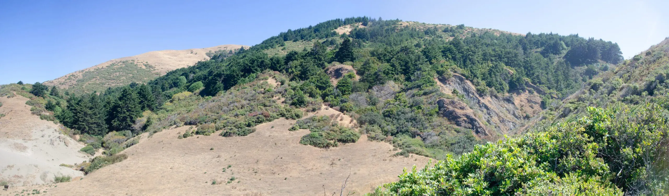
The view away from the beach was almost as majestic:
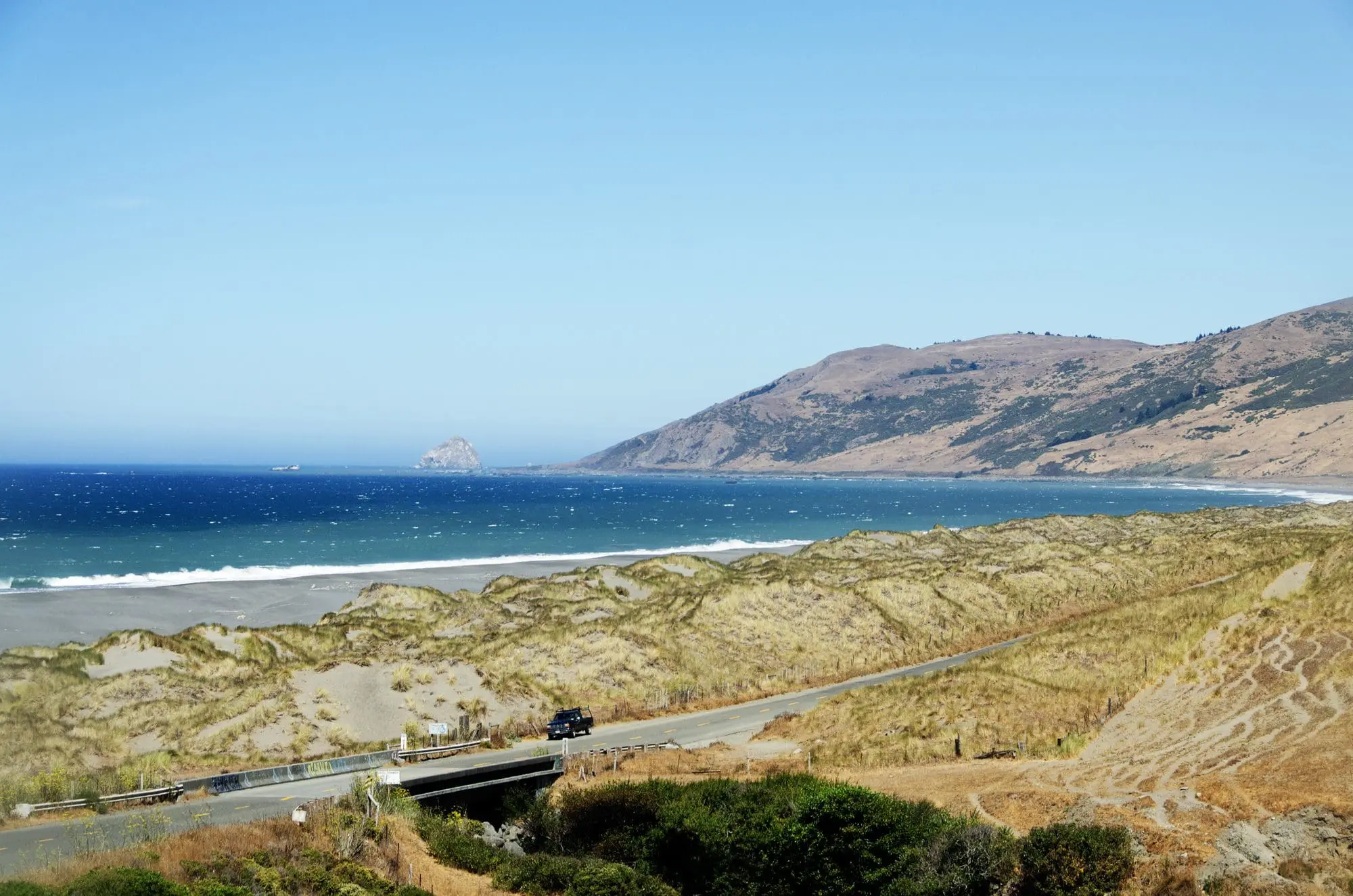
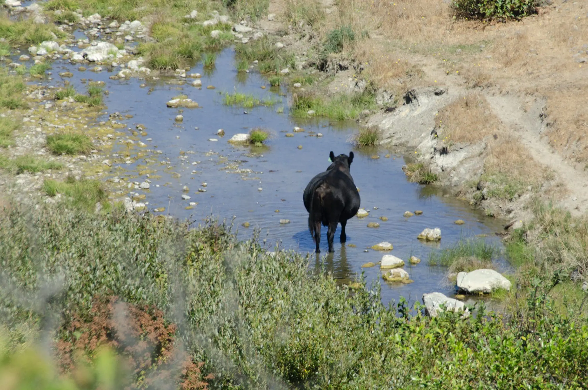
Mattole Road runs for several miles along the beach (you don’t start climbing away from the beach until you reach that rocky islet you can see in the center left of the picture above). I stopped along the way to do a little meet and greet with some of the other inhabitants.

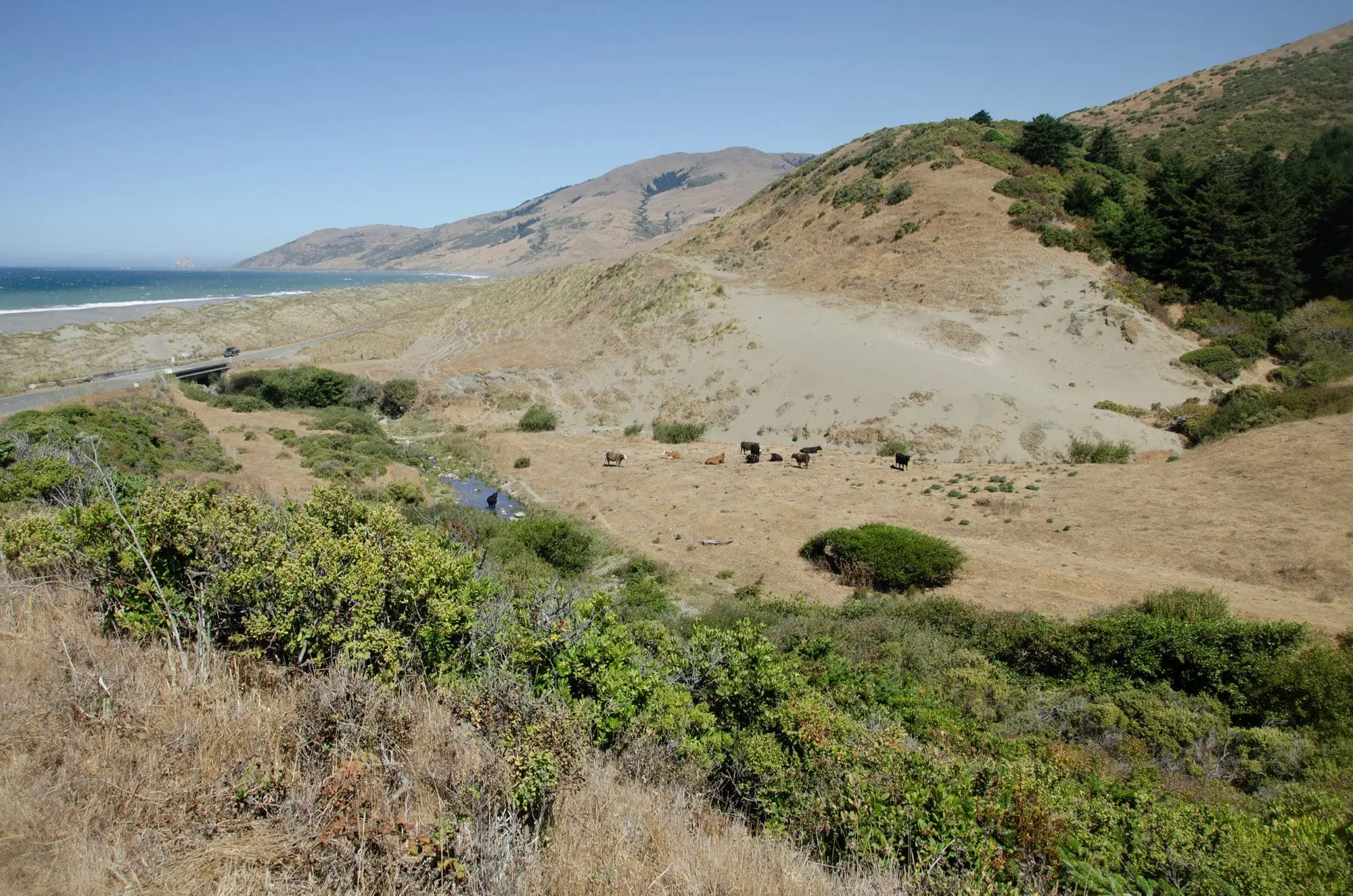
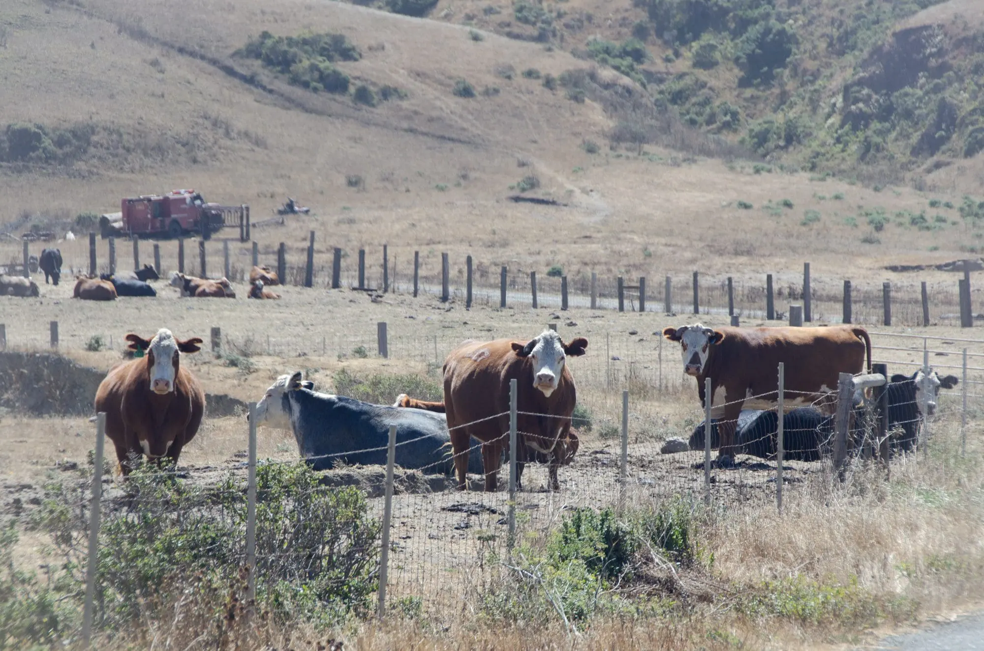
These next guys managed to startle me. I’d never tried to approach a bunch of lounging cattle before…and I wasn’t able to this time, either. Because as soon as I got within about 40 feet, three of the biggest ones leaped up and began an impromptu staring contest with me. Which I took to mean “stay away from our calves. Or else.”
I took one last picture of the coast side before Mattole Road began climbing away from the beach:
You could see why CalTrans deemed this area “too geologically unstable”. Those mounds were all over the place, and it sure looks like they’re all pretty transient.
Unfortunately, while there were some great views of the coast as Mattole Road turned inland, I wasn’t able to take any photographs because there weren’t any safe places to pull over. Not to mention this stretch of road had some of the steepest grades of the entire trip, coupled to a bunch of hairpin curves.
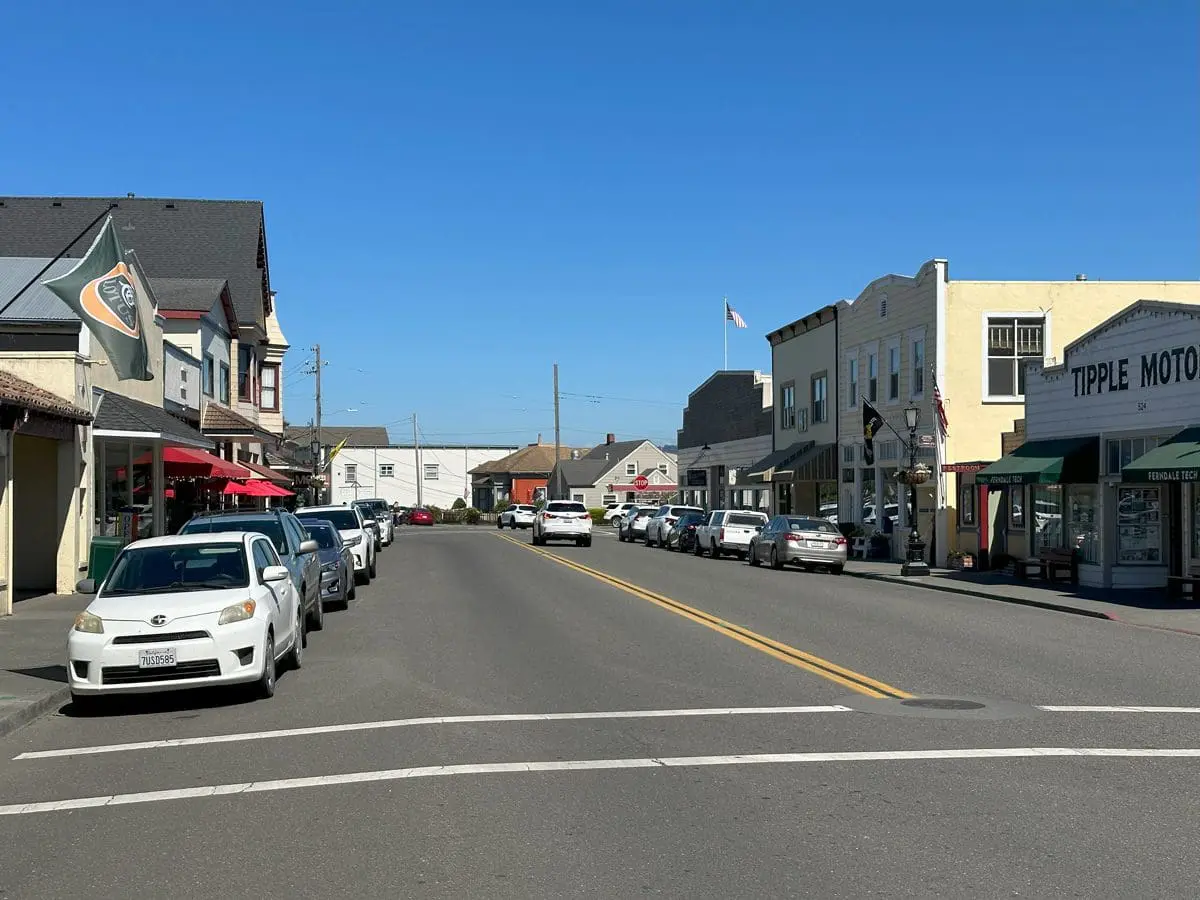
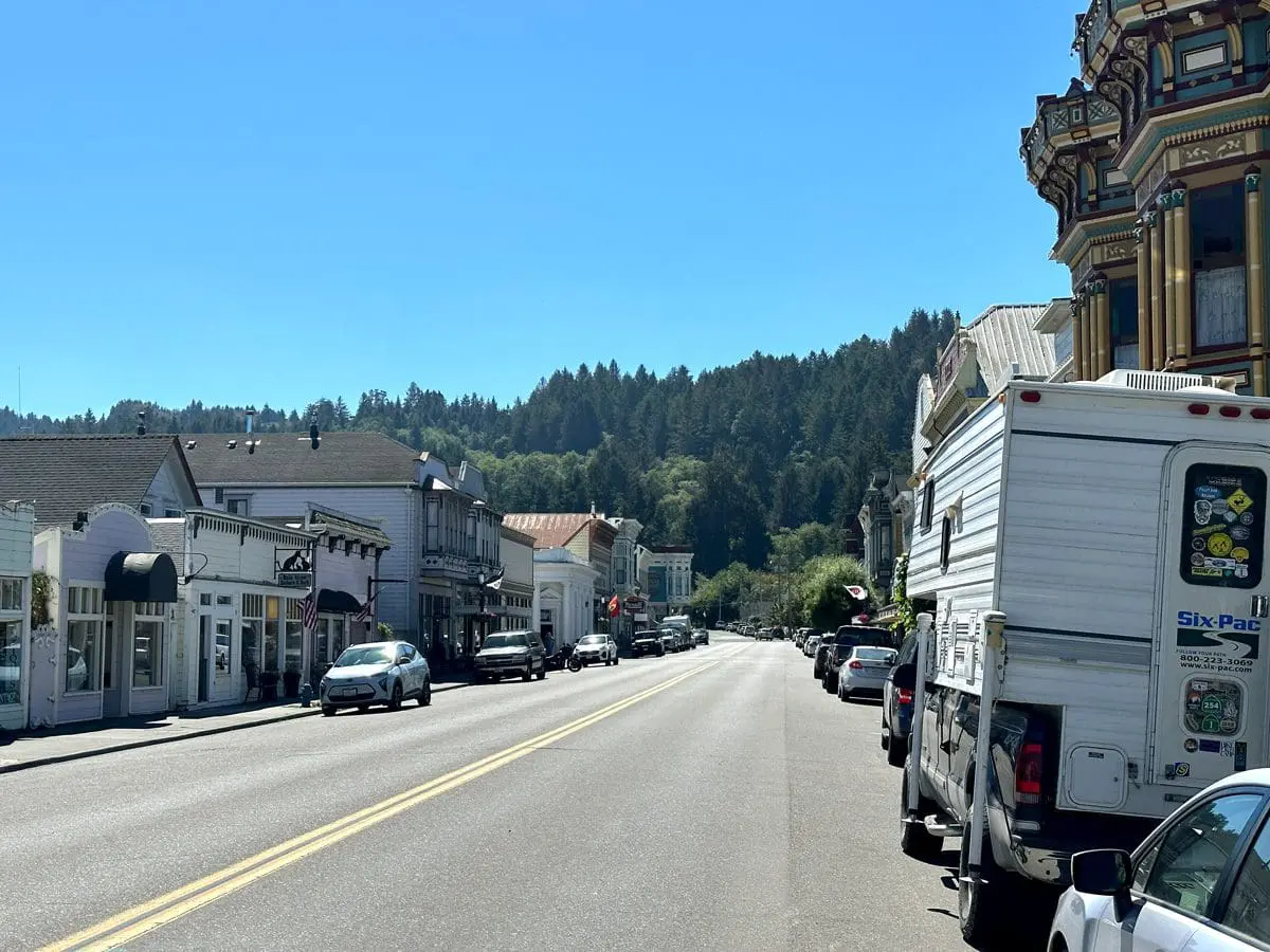
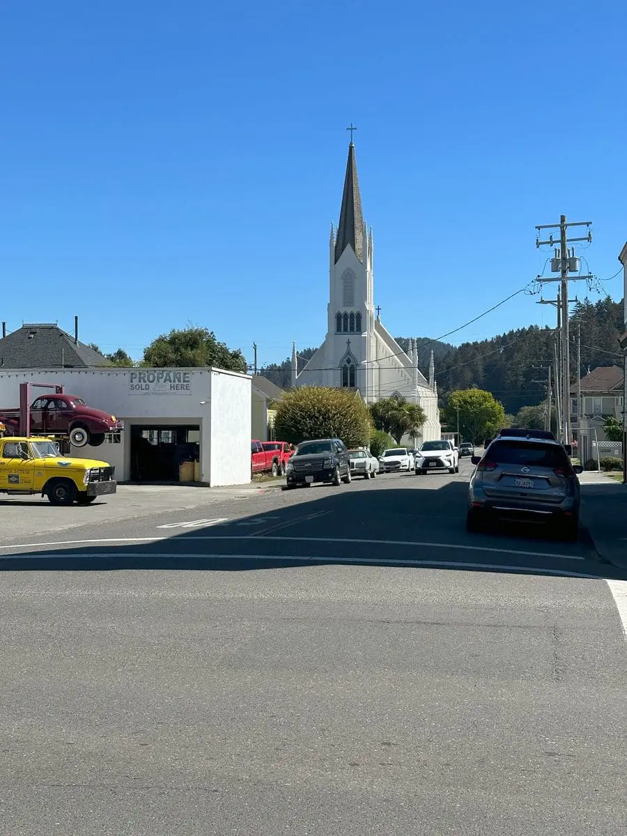
All good things come to an end, though, and I eventually came down out of the mountains into Ferndale, Califorinia. Where, wonder of wonders, it was a bright, sunny day2!
I rode back to Garberville along the Avenue of the Giants, which is a state highway that runs through the heart of a state park composed of old growth redwoods. I didn’t stop to take any pictures — I wanted to get back to the hotel — but the scenery was very impressive, so much so that I’m planning on coming back with Barbara on a driving vacation where we can partake of some of the fun trails I saw.
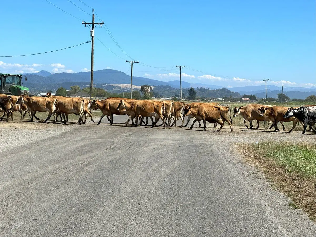
I did have one more new experience leaving Ferndale, though. I’ve had to stop for many things on my rides — including a mile long train outside of Modesto in the midst of 95+ heat — but never before a cattle drive.
One of the nice features of the FJR-1300ES I rarely use is its electronically adjustable rear suspension. ↩
Ferndale’s climate is radically different from Honeydew’s or Petrolia’s, even though they’re not that far apart as the crow files. Assuming the crow can get over a couple of 2,500 foot mountains. ↩