Today was the real Sherman Pass day. As in I was actually going to ride through the pass.
I’d been a bit nervous the night before, with the fear manifesting itself mostly as “what if I run out of gas in the middle of nowhere?” I love my Yamaha FJR-1300ES, but its gas gauge is notoriously non-linear: filling up a half-empty tank takes about 3.25 gallons, while filling up a three-quarters empty tank takes a bit more than…3.5 gallons. But the psychological impact of “I’m running out of gas!” is still there. By carefully plotting the distance to the first gas station I realized it’d only be a bit more than the run between Santa Cruz and home I do all the time. I know how much gas that takes!
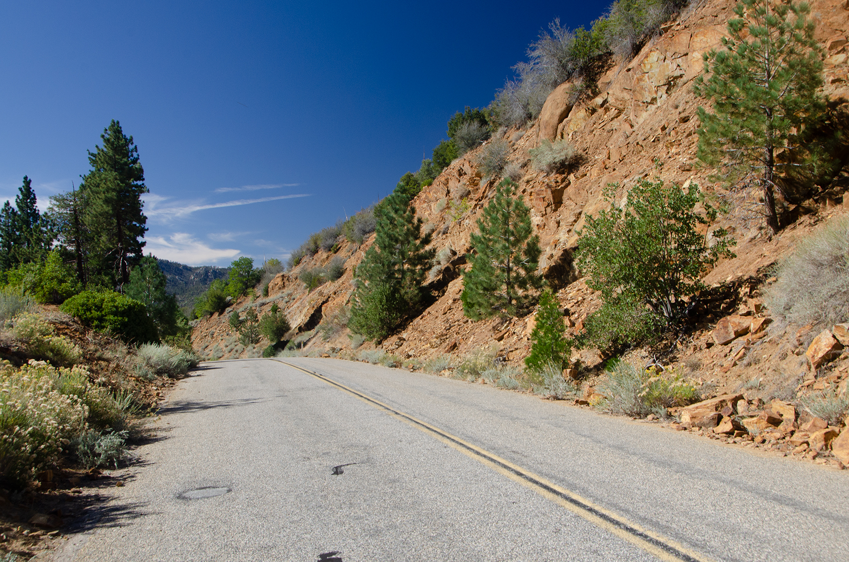
I was also a bit worried about steep, twisty grades. Turns out I didn’t need to be; the run up to Sherman’s Pass from the place I was staying, John McNally’s Lodge, was much less twisty than the run into the Sierras from Springville. In fact, today’s entire trip was pleasant. Challenging at times, but just fun!
Climbing up out of the Kern River Valley you quickly lose sight of the water.
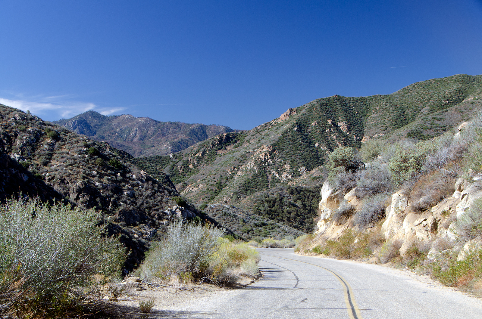
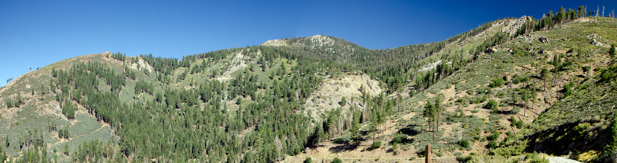
But that’s okay, because the views are magnificent. There are all sorts of rock-topped mountains around you.
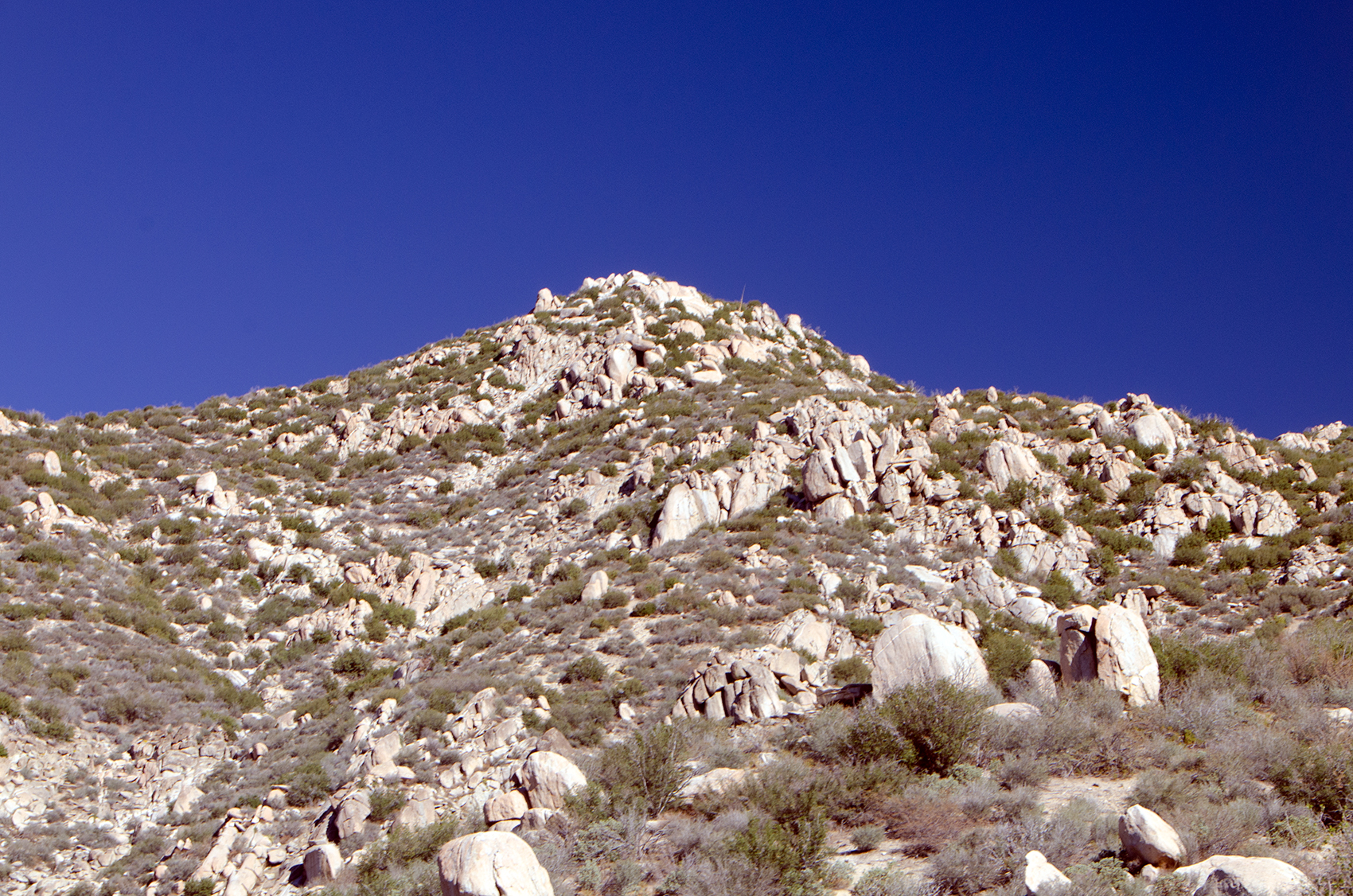
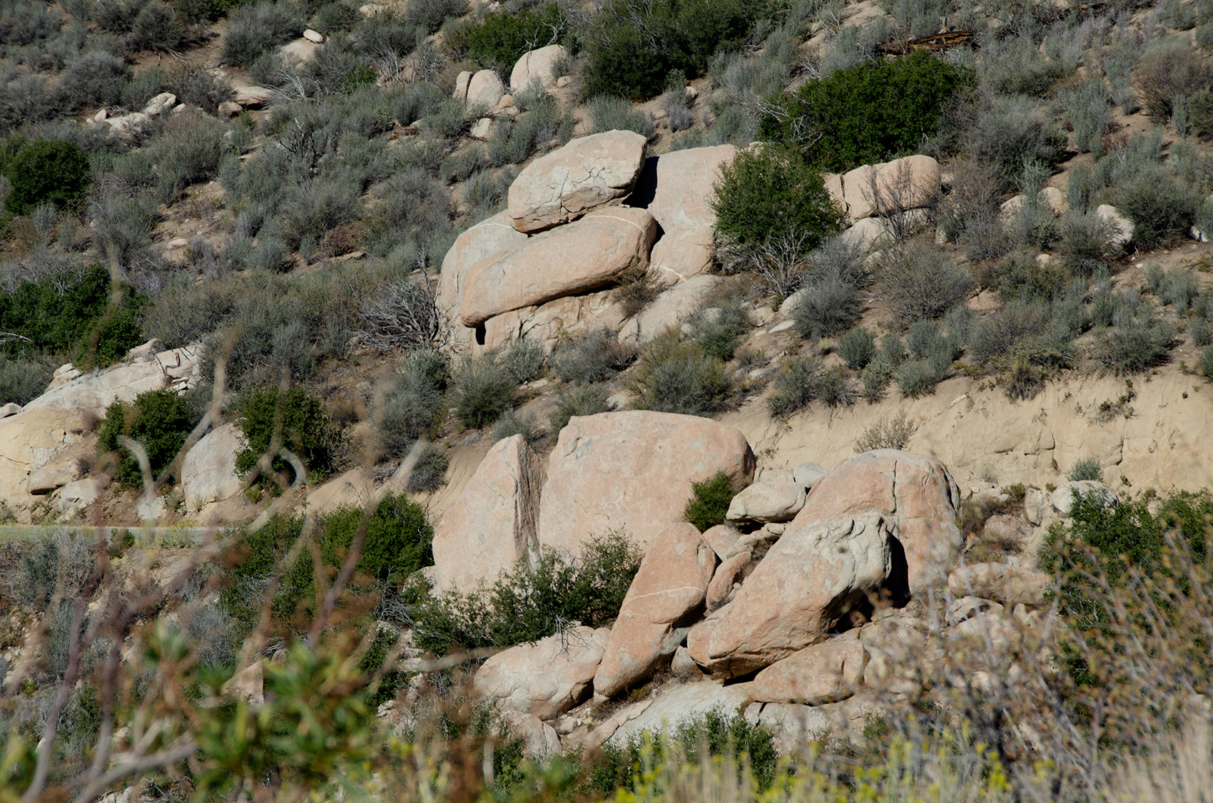
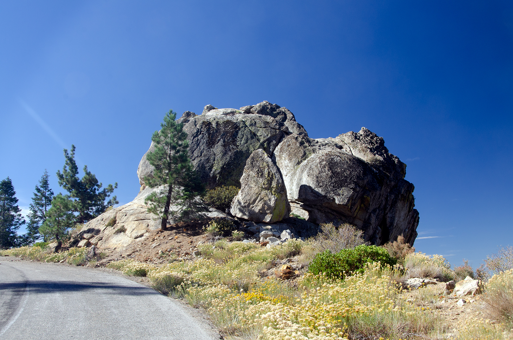
And all sorts of interesting rock formations
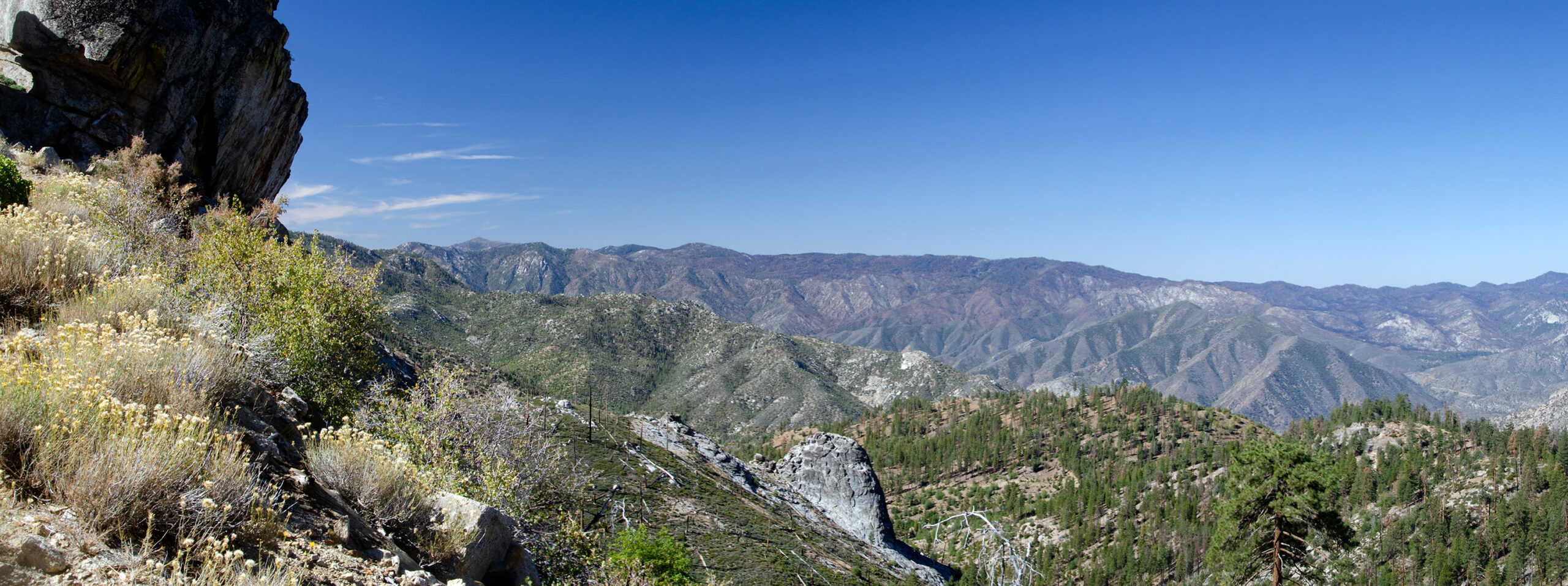
Not to mention beautiful vistas

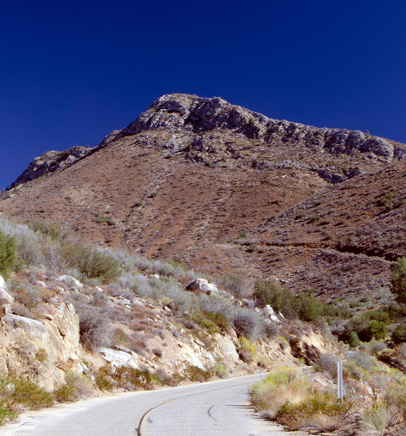
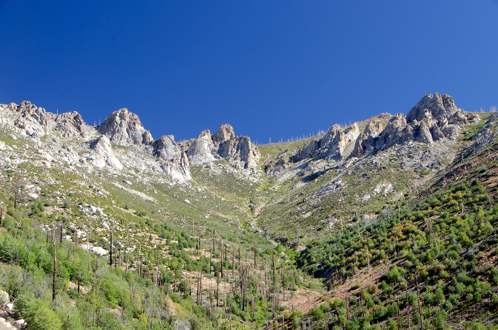
As you approach the summit the peaks of the mountains around you start getting rougher.
And the rocks and soil start getting redder.
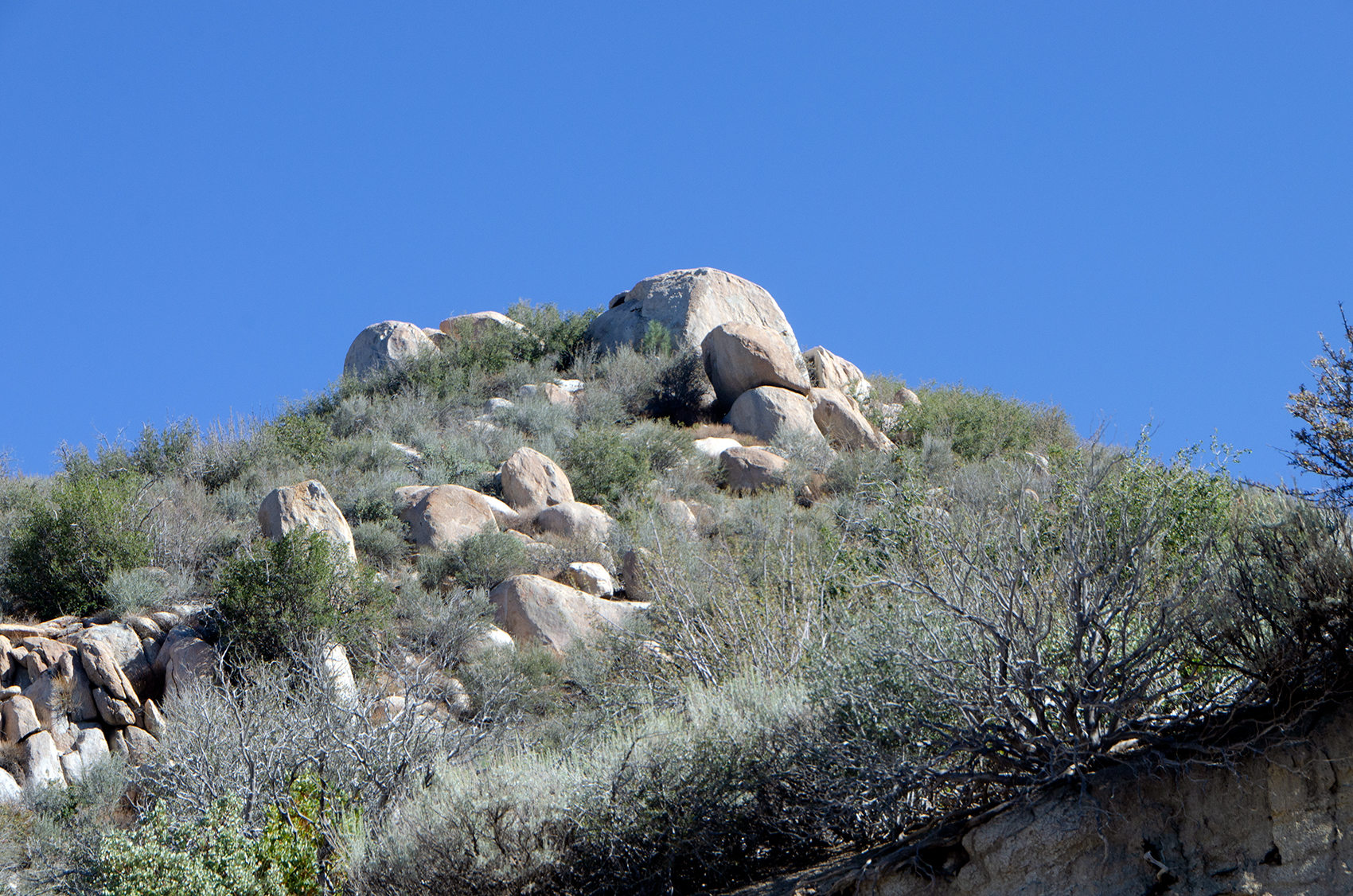
There are boulders looking like they’re ready to roll down on someone’s head, too.
But even though you’re rapidly approaching 9,000+ feet in altitude, you’re still not near the tree line.
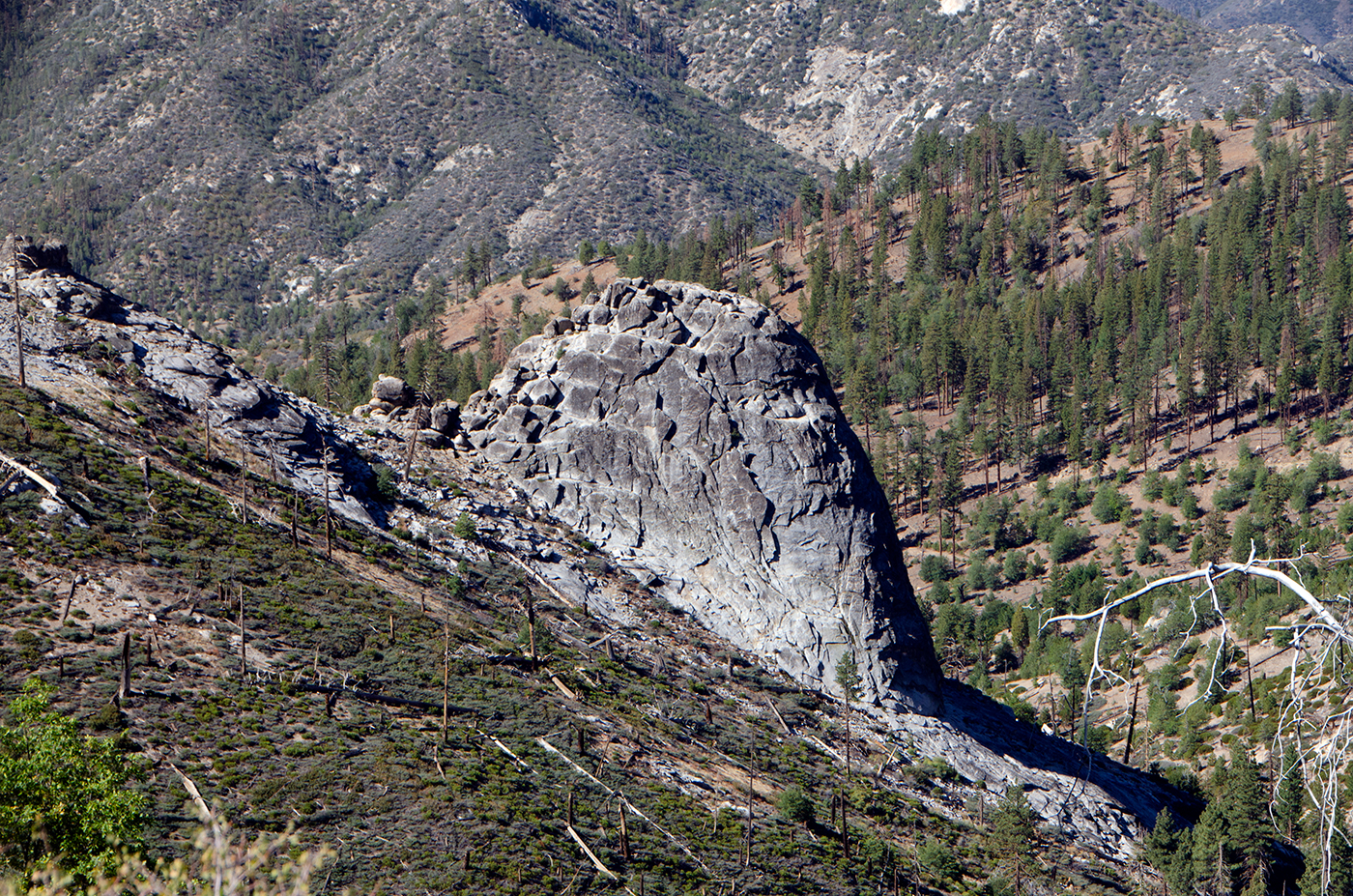
…and there are still a bunch of neat rock formations almost everywhere you look.
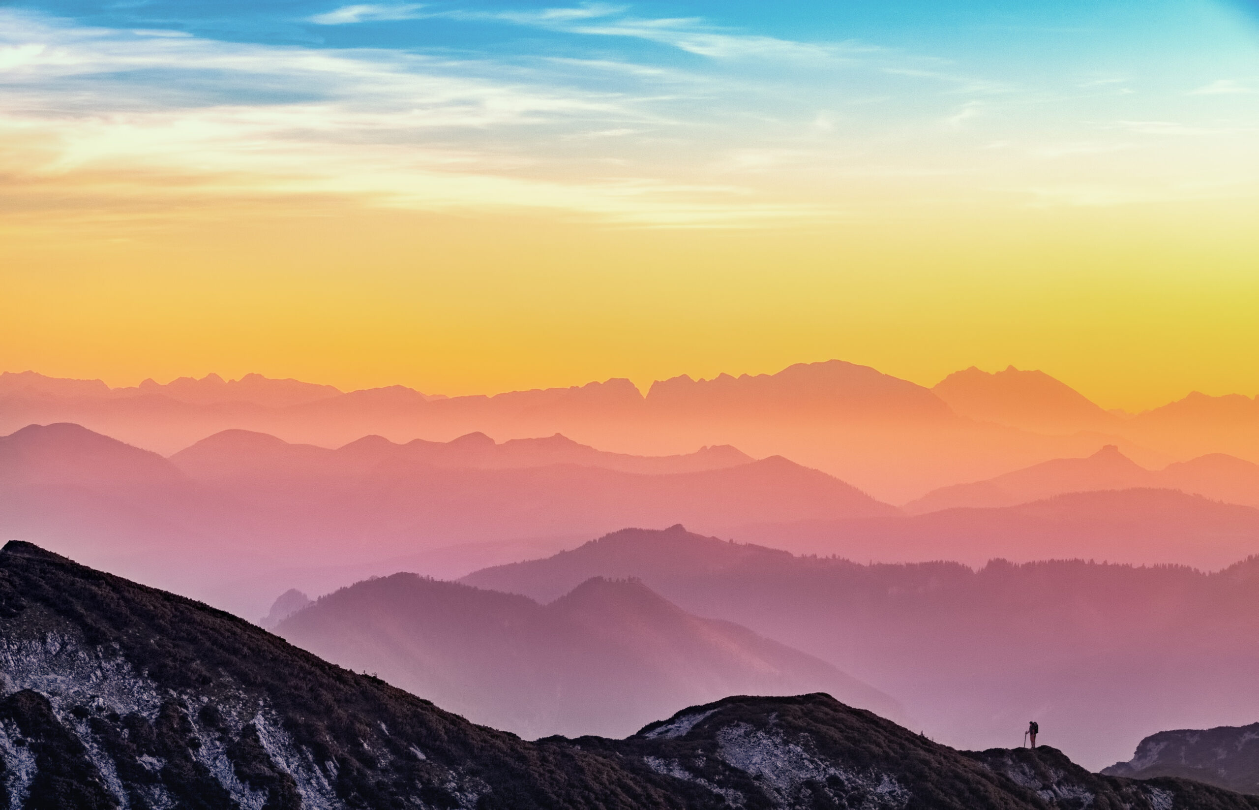
The view from the pass, when you finally get there, is awe-inspiring. Those are some Really Big Mountains, visible from over 40 miles away!
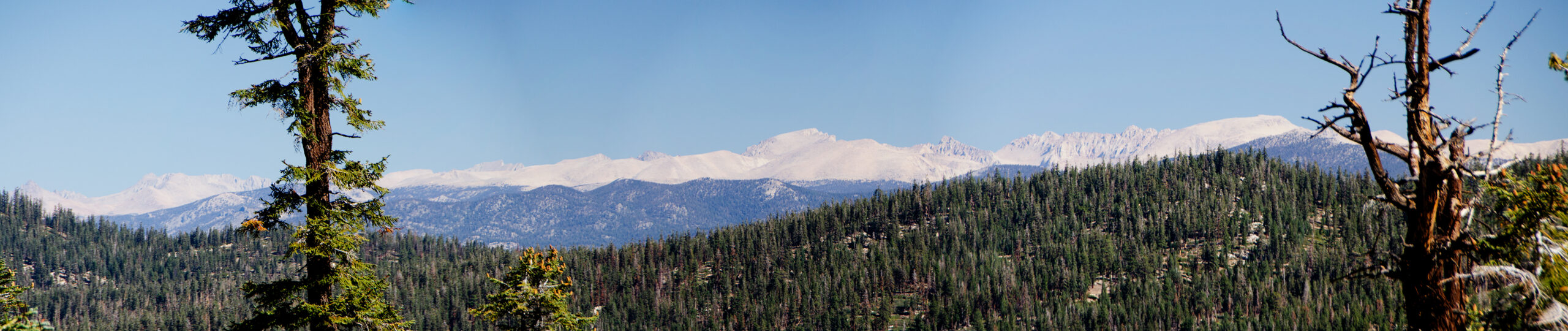
Here’s a closer look at Mt. Whitney, the highest peak in the Lower 48.
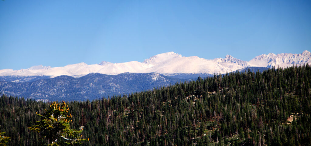
…and Olancha Peak off to the right.

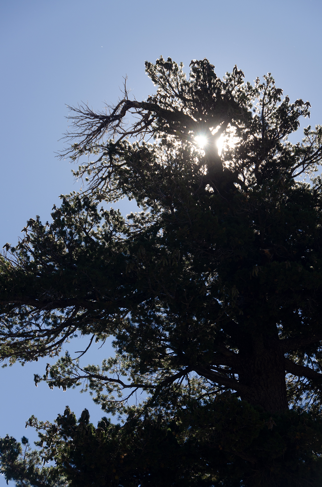
But I have to say I also found these two ordinary redwoods near the summit parking lot equally beautiful.

My route didn’t end at the pass, of course. But while the rest of the ride was beautiful (and even more pleasant, because it was downhill on a surprisingly well-maintained road), the spectacular views it offered didn’t have areas where I could safely pull off.
There was a surprising amount of traffic up on the Kern Plateau, mostly coming in from the Mojave Desert area to the east of the Sierras.
I did stop for a lunch break1 in Kennedy Meadows. Where, low and behold, they sold gas! Which had not been noted on Google Maps. But I actually hadn’t burned very much gas, because after the summit it was essentially downhill all the way to the US-395 in the Mojave.
The rest of the trip to Kernville, where I’m spending the night, was a great ride, but uneventful. And quite hot! Even 75 MPH doesn’t do much to offset 90+ degree temperatures.
Probably the most interesting thing I ran into on this baked section of the ride was when Google Maps2 said I’d be seeing giant Lake Isabella around the next bend…only to go through the pass and find the nearest water way, way, off in the distance. It made the signs I kept passing about “boat launch areas” particularly ironic. Confirmation, in case any was needed, that we are in a really, really, really bad drought.


2 thoughts on “Sherman Pass, Day 3”
😊
Beautiful!